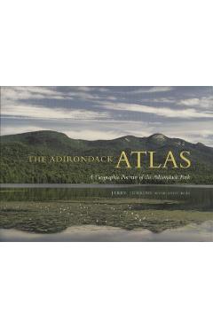
The Adirondack Atlas: A Geographic Portrait of the Adirondack Park - Jerry Jenkins
Detalii The Adirondack Atlas: A Geographic
libris.ro
111.32 Lei
123.69 Lei
Reference
Jerry Jenkins
The Adirondack Atlas: A Geographic - Disponibil la libris.ro
Pe YEO găsești The Adirondack Atlas: A Geographic de la Jerry Jenkins, în categoria Reference.
Indiferent de nevoile tale, The Adirondack Atlas: A Geographic Portrait of the Adirondack Park - Jerry Jenkins din categoria Reference îți poate aduce un echilibru perfect între calitate și preț, cu avantaje practice și moderne.
Preț: 111.32 Lei
Caracteristicile produsului The Adirondack Atlas: A Geographic
Comandă The Adirondack Atlas: A Geographic Online, Simplu și Rapid
Prin intermediul platformei YEO, poți comanda The Adirondack Atlas: A Geographic de la libris.ro rapid și în siguranță. Bucură-te de o experiență de cumpărături online optimizată și descoperă cele mai bune oferte actualizate constant.
Descriere magazin:
The Adirondack Atlas offers a detailed geographic portrait of the largest protected area in the contiguous United States and the largest region of protected temperate forests in the world. Generously illustrated-complete with 450 full-color maps and 250 figures, graphs, tables, charts, and scientific drawings-this volume covers 130 topics on the six-million-acre Adirondack Park. As the first book of its kind, it is both a work of art and an authoritative reference. The Park has a complex history. It is one of the only parks in the world to combine large wilderness areas with extensive private lands and a substantial residential population. Jerry Jenkins explores this connection between the wild and human communities within a protected landscape. As he maps out the diverse and ever-changing environment--the recreational growth, conflicts between users, development, pollution, and climate change--he highlights elements that threaten to alter the Park and undo the protection it now enjoys. Jenkins includes old stories of fur routes and battles, log drives and Shea engines; new stories about school taxes and education, conservation easements and local economies, artistic ferment and social ills, about healthy towns, dying trees, and deer harvests. As a comprehensive and standard resource, the Atlas captures the full scope of the park\'s topographic, hydrographic, and ecological history for a wide audience of geographers, historians, and Adirondack enthusiasts.
Produse asemănătoare
Produse marca Jerry Jenkins
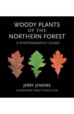
Woody Plants of the Northern Forest: A Photographic Guide - Jerry Jenkins
![]() libris.ro
libris.ro
Actualizat in 28/10/2025
94.58 Lei
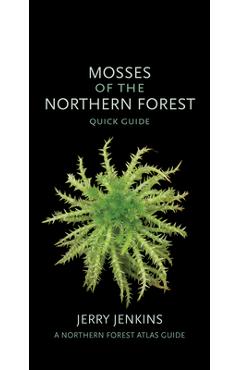
Mosses of the Northern Forest: Quick Guide - Jerry Jenkins
![]() libris.ro
libris.ro
Actualizat in 28/10/2025
66.68 Lei
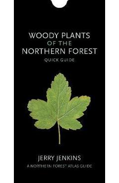
Woody Plants of the Northern Forest: Quick Guide - Jerry Jenkins
![]() libris.ro
libris.ro
Actualizat in 28/10/2025
66.68 Lei

Grasses of the Northern Forest: A Photographic Guide - Jerry Jenkins
![]() libris.ro
libris.ro
Actualizat in 28/10/2025
94.58 Lei

Mosses of the Northern Forest: A Photographic Guide - Jerry Jenkins
![]() libris.ro
libris.ro
Actualizat in 28/10/2025
128.06 Lei

Sedges of the Northern Forest: A Photographic Guide - Jerry Jenkins
![]() libris.ro
libris.ro
Actualizat in 28/10/2025
94.58 Lei