Peste 10 milioane de produse, intr-un singur loc.
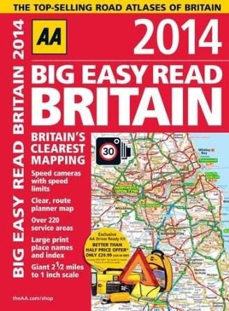
Pe YEO găsești AA Big Easy Read Britain de la Automobile Association, în categoria Carte straina.
Indiferent de nevoile tale, AA Big Easy Read Britain 2014 | AA Publishing din categoria Carte straina îți poate aduce un echilibru perfect între calitate și preț, cu avantaje practice și moderne.
Preț: 84 Lei
Prin intermediul platformei YEO, poți comanda AA Big Easy Read Britain de la carturesti.ro rapid și în siguranță. Bucură-te de o experiență de cumpărături online optimizată și descoperă cele mai bune oferte actualizate constant.
![]() carturesti.ro
Actualizat in 24/07/2026
carturesti.ro
Actualizat in 24/07/2026
84 Lei
Vezi oferta
![]() libris.ro
Actualizat in 29/05/2026
libris.ro
Actualizat in 29/05/2026
103.98 Lei
Vezi oferta
![]() elefant.ro
Actualizat in 29/05/2026
elefant.ro
Actualizat in 29/05/2026
98.39 Lei
Vezi oferta
![]() carturesti.ro
Actualizat in 24/07/2026
carturesti.ro
Actualizat in 24/07/2026
65 Lei
Vezi oferta
![]() carturesti.ro
Actualizat in 24/07/2026
carturesti.ro
Actualizat in 24/07/2026
84 Lei
Vezi oferta