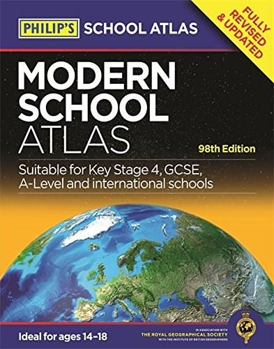
Philip\'s Modern School Atlas |

Detalii Philip\'s Modern School Atlas |
Philip\'s Modern School Atlas | - Disponibil la carturesti.ro
Pe YEO găsești Philip\'s Modern School Atlas | de la PHILIP\'S, în categoria Carte straina.
Indiferent de nevoile tale, Philip\'s Modern School Atlas | din categoria Carte straina îți poate aduce un echilibru perfect între calitate și preț, cu avantaje practice și moderne.
Caracteristici și Avantaje ale produsului Philip\'s Modern School Atlas |
- Departament: gaming-carti-birotica
- Ideal pentru pasionații de jocuri, birotică și distracție online.
Preț: 71.5 Lei
Caracteristicile produsului Philip\'s Modern School Atlas |
- Brand: PHILIP\'S
- Categoria: Carte straina
- Magazin: carturesti.ro
- Ultima actualizare: 27-10-2025 01:24:43
Comandă Philip\'s Modern School Atlas | Online, Simplu și Rapid
Prin intermediul platformei YEO, poți comanda Philip\'s Modern School Atlas | de la carturesti.ro rapid și în siguranță. Bucură-te de o experiență de cumpărături online optimizată și descoperă cele mai bune oferte actualizate constant.
Descriere magazin:
Britain\'s best-selling secondary school atlas, now in its 98th Edition, Philip\'s Modern School Atlas is an essential reference work for secondary education (14-18 year olds), suitable for Key Stage 4, GCSE, A-Level and international schools. The contents are divided into sections for ease of use, with each page colour-coded for rapid reference. A 12-page Remote Sensing section covers such topics as satellite imagery and GIS (with an explanation of false-colour usage), incorporating a selection of images used in studies of exploration, land reclamation, erosion, geology, pollution and urban regeneration, with explanatory text. The next section covers the United Kingdom and Ireland in 31 pages. With physically coloured maps, this is the most accurate mapping of the UK and Ireland available at the chosen scales - accompanying the physical maps are thematic maps on numerous key social and economic themes. The middle section is made up of 74 pages of World topographical maps, incorporating continental thematic maps on topics such as climate, population and economics, followed by 30 pages of World thematic maps. Completing the atlas is a section of World social and economic statistics, accompanied by the index to the topographical maps in the atlas, showing letter-figure grid references as well as latitude and longitude co-ordinates.

Produse asemănătoare

Philip\'s RGS Modern School Atlas. Paperback 101st Edition, Paperback/Philip\'s Maps
![]() elefant.ro
elefant.ro
Actualizat in 26/10/2025
79.99 Lei

Philip\'s RGS Modern School Atlas. 100th edition, Hardback/Philip\'s Maps
![]() elefant.ro
elefant.ro
Actualizat in 26/10/2025
93.99 Lei

Philip\'s RGS Modern School Atlas. Hardback 101st edition, Hardback/Philip\'s Maps
![]() elefant.ro
elefant.ro
Actualizat in 20/10/2025
93.99 Lei